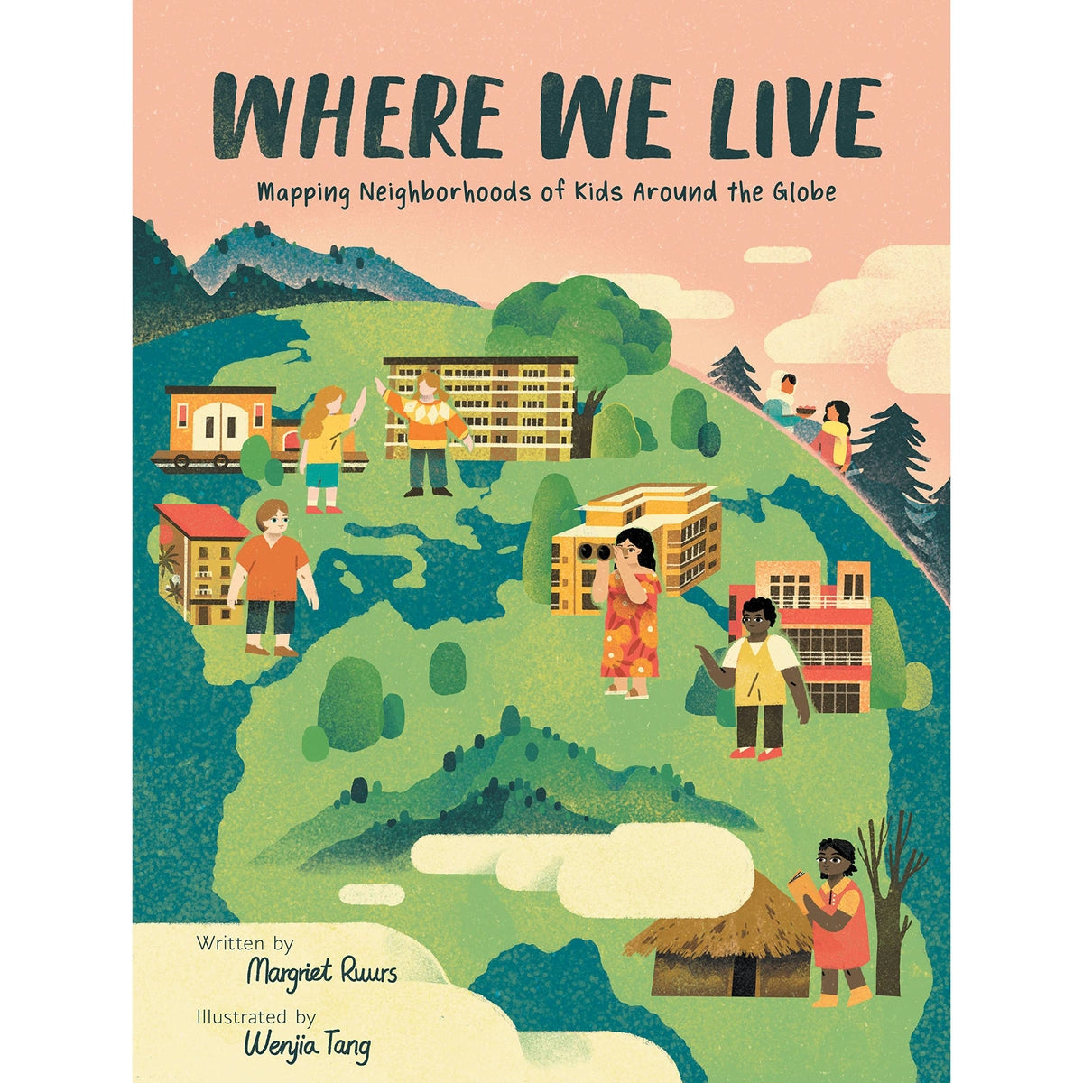
where we live: mapping neighbourhoods of kids around the globe Kids Can Press
$ 21,99 $ 13,19
This fascinating look at 16 children’s neighbourhoods around the world broadens readers’ understanding of global cultures.
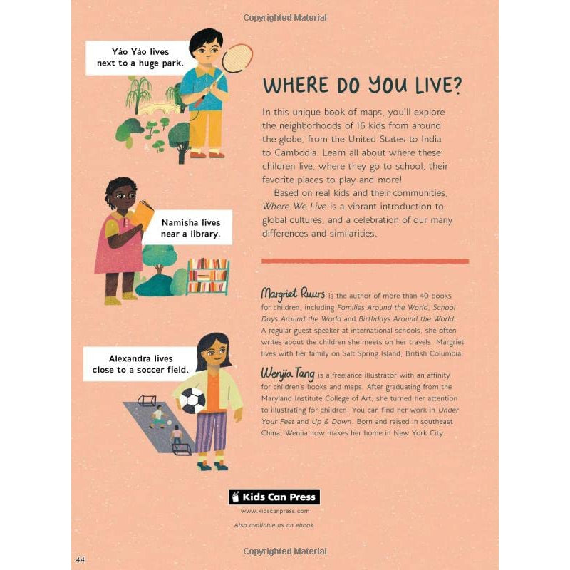
This unique illustrated map book explores the neighbourhoods of 16 real children from around the world. Author Margriet Ruurs, who met many of these children in her travels, tells the story of each child’s neighbourhood by highlighting the places that are important to them, such as where they live, go to school and play, as well as interesting facts about their lives, including the food they eat, their religious practices and the sights and smells they encounter every day. From big cities, such as Amsterdam and Beijing, to small communities, such as Salt Spring Island in Canada and the village of Komanyana in Zambia, each place is special to the children who live there.
In the book’s opening pages, Ruurs explains what a map is and what its component parts are: compass rose, legend, scale bar. Then, each child’s story gets its own spread, with Wenjia Tang’s playful and inviting maps as a backdrop featuring illustrations of the important places and a legend specific to that map. Each of the maps in the book is based on the child’s actual neighbourhood. The “Say It!” box includes words and phrases in the child’s native language. This book has a wealth of social studies applications: it’s both a valuable resource … and an insightful look at how much children around the world have in common, this book has a wealth of social studies applications. It makes a perfect jumping-off point for projects in which children create their own map and story or do further research on any of the neighbourhoods in the book. Back matter includes activities, a glossary, an author’s note and a further-reading list.
- for ages 7-10
- 40 pages
- hardcover
Quick Shipping and Professional Packaging
Our long-standing relationship with UPS FedEx DHL and other international carriers allows us to offer a range of shipping services. Our warehouse personnel are highly skilled and will pack your products according to our precise and precise specifications. Your items are carefully inspected and securely secured prior to shipment. We deliver to thousands of clients every day from all over the world. This is a testament to our commitment to be the largest online retailer globally. The distribution centers and warehouses distribution are situated in Europe, as well as the USA.
Note: Orders that contain more than one item are assigned a particular processing period depending on the specific product.
Prior to shipping the items, our staff will carry out a thorough inspection on the products you have ordered. Today, the majority orders will be delivered within 48 hours. The delivery time is between 3 and 7 working days.
Returns
We are not able to manage the stock in our factory and warehouse. This means that the actual stock could change at any time. It is possible that your order will be out of stock when the order has been placed.
Our policy is valid for 30 days. However, if 30 days have passed since you purchased your product, we are unable to give you a refund or exchange.
The item you purchase must be in its original packaging and in good condition. It must also not be used. The item must be returned in the original packaging.
Related products
books
books
